Showing posts with label Mount Washington. Show all posts

Early Spring Sarge

- Winter is quickly vanishing in the White Mountains as February was one of the warmest and snowless months in almost ten years. With the warm temps and easy snow conditions Sarge and I took full advantage of it as February rolled into March.
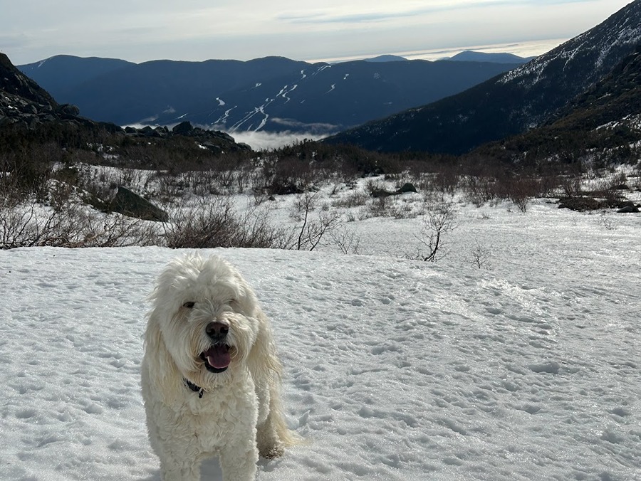
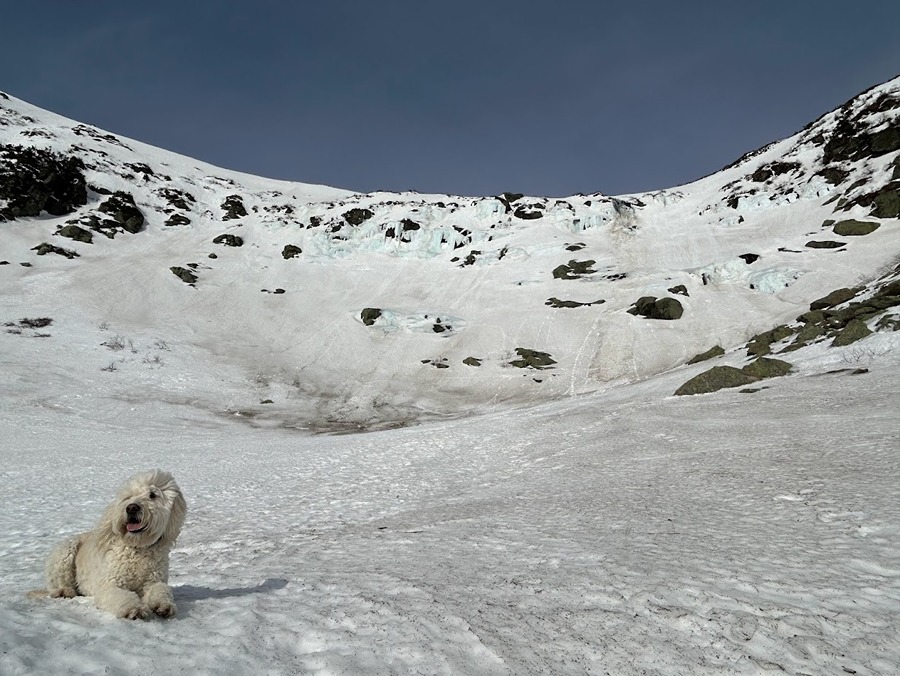
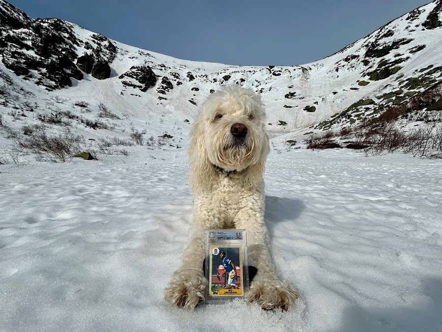
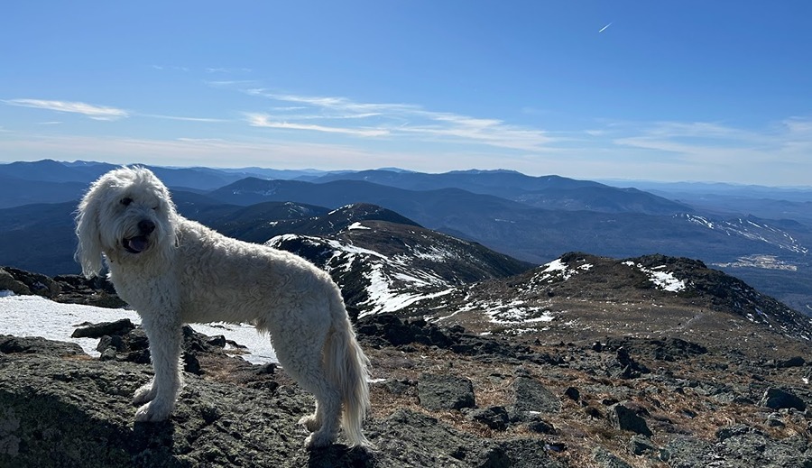
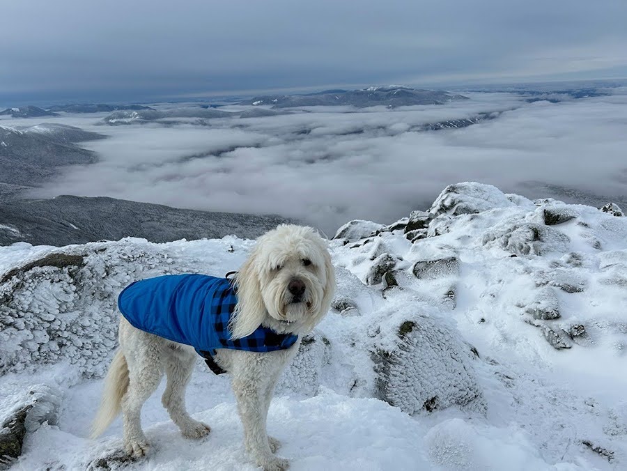
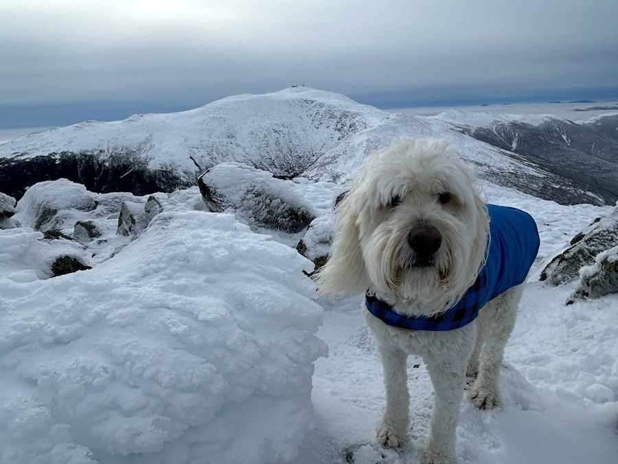
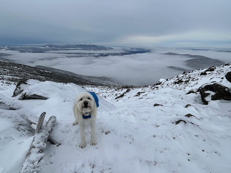
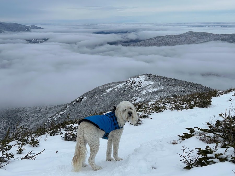
- Frist up, a pre-work scamper to Tuckerman Ravine for Bowl Pawtrol with special guest Bo Jackson (see pic below). We made it to Lunch Rocks at 8AM, it was unseasonably warm and quiet, I could have easily taken a nap in the sun without worrying about getting cold at all. 
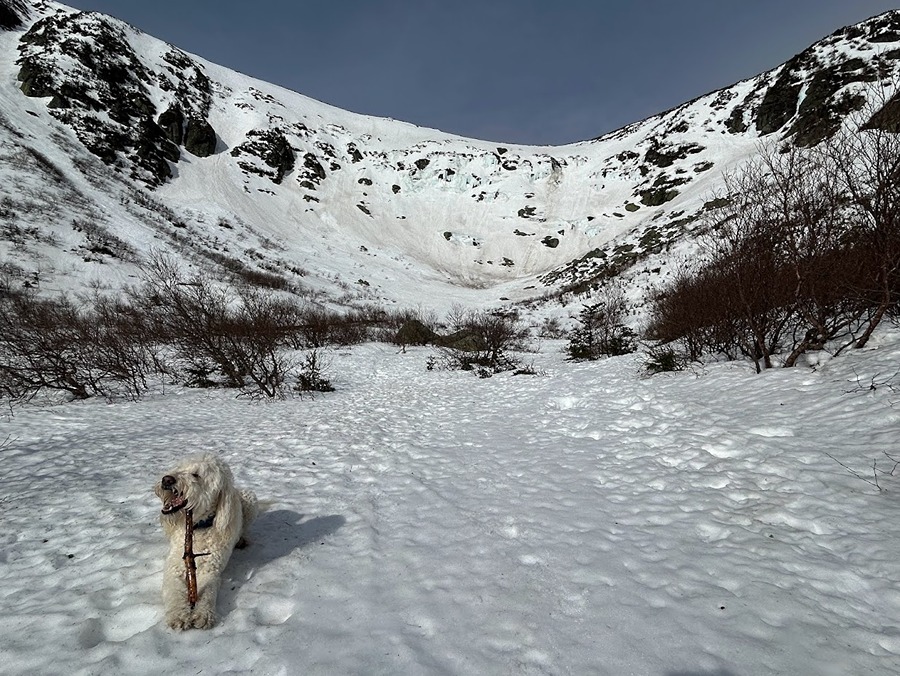
- Sarge and I had the whole ravine to ourselves and we spent about fifteen minutes soaking up the sun and taking pictures before heading back down.
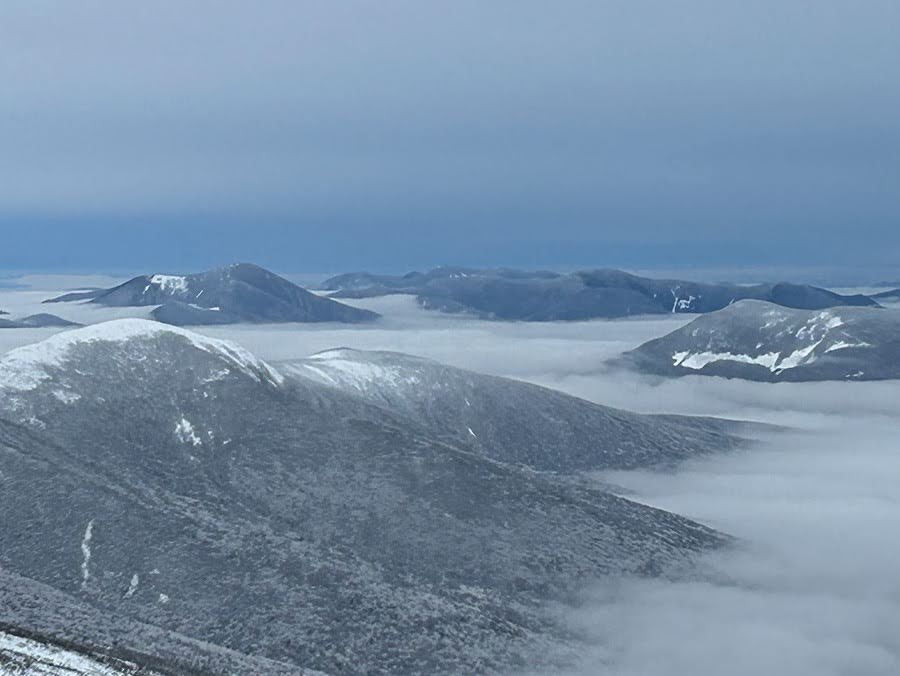
 - We quicky made our way down to Pinkham Notch and were surprised to see the ravine was now full of clouds as a storm was about to roll in, perfect timing for the Dood and I and a reminder that Mount Washington's weather is always one pitch away from tossing a curve ball.

Sarge takes a seat on his thrown in Tuckerman Ravine

All smiles in the sun with Wildcat Ski area to the east

Just another morning on Bowl Pawtrol

Sarge Brings his favorite baseball card, a 1987 Topps Bo Jackson. 
"Bo Pawtrol Jackson"

A stick snack before heading back!

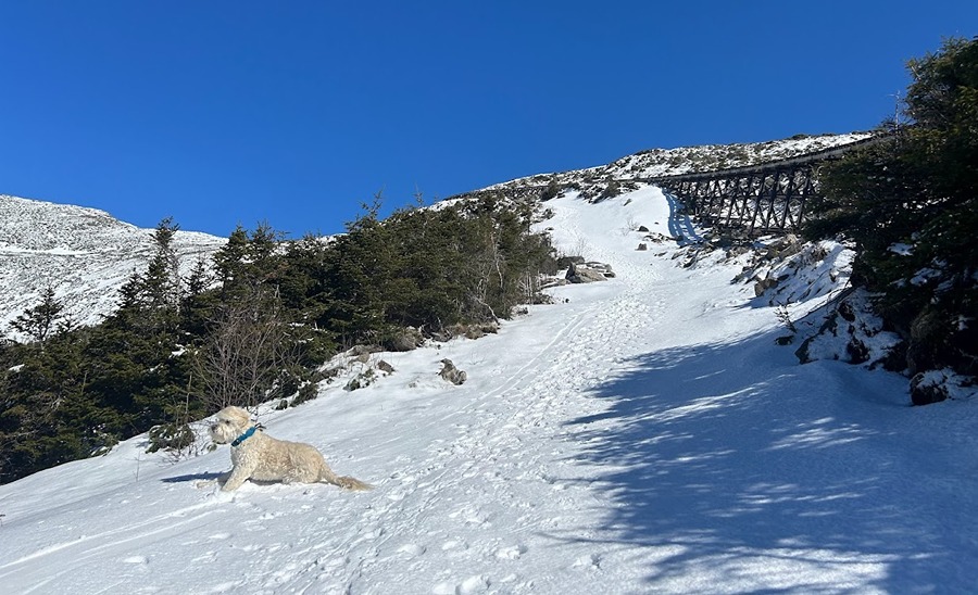
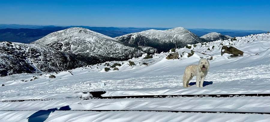
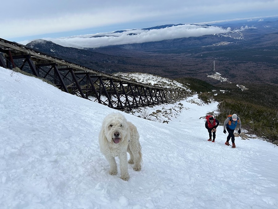
- Next up was a post work beach day on Mount Washington with Todd. We took the express way to the summit, the Cog Path. Not knowing what to expect we brought our snowshoes and extra gear. It ended up being so warm and easy we could have worn our summer rockpile kit of shorts, tshirt, and Houdini jacket. 

Sarge cools off in the snow as we ascend next to the Cog 

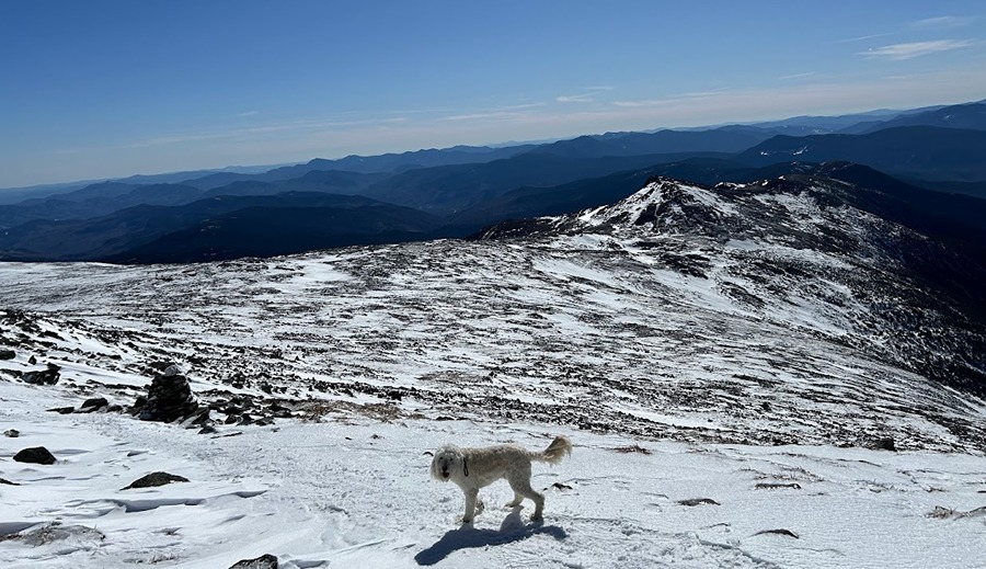
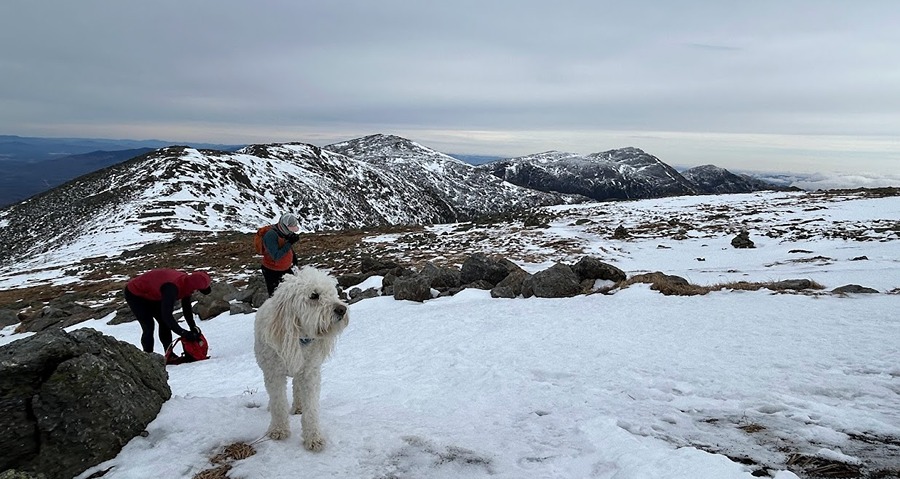
Posing with the Northern Presidential Range in the background

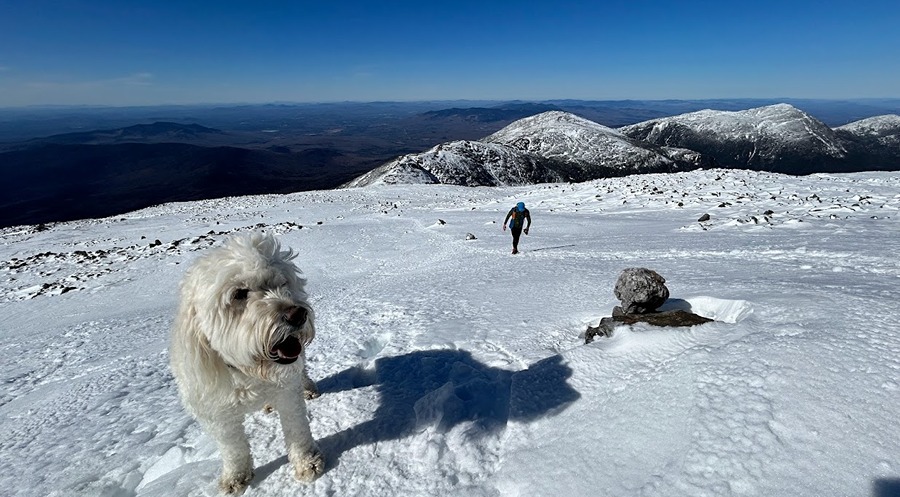
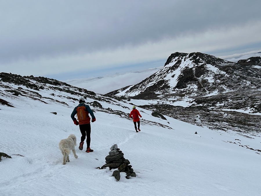
Sarge and Todd head up the summit cone

Beach day!

- It was such a nice day that instead of heading back down to the trailhead we made our way to Lakes of the Clouds Hut and over to Mount Monroe before steeply dropping down the Ammonoosuc Ravine Trail.

Leaving the summit and hooking onto the Crawford Path

Abundant sunshine as we descend Crawford Path

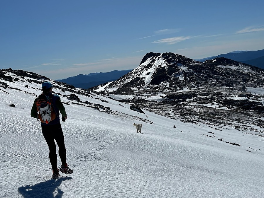
Sarge leads us towards Lakes of the Clouds

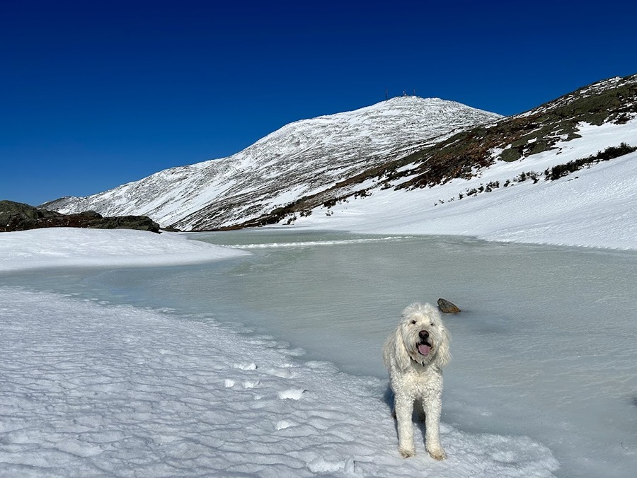
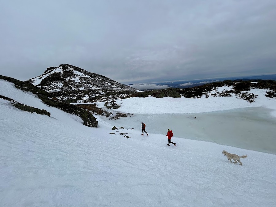
A still frozen Lakes of the Clouds

Sarge on Mount Monroe, capping off an incredible day above treeline!

- On Saturday, March 9th, Todd and Nate joined us for a Washington to Jackson traverse. Snow and ice conditions were the same as the day before but the winds were whipping consistently over 30 MPH with gusts around 45MPH.
 - We started at 7AM and headed up the Cog path then booked it south on the Crawford Path taking the loop trails over Monroe and Eisenhower before hooking onto the Webster-Cliff Trail over Pierce and Jackson before dropping down to Crawford Notch.
- The reason for the early start was to beat the weather as one last significant snowstorm was going to roll through by nightfall. Winds on the day were going to be rising, up to 100 MPH overnight, and temperatures would be falling throughout the day so the early start would give us plenty of time to casually hike and trail run this fourteen-mile route.
- We were shielded from the wind for the first two miles and then it instantly picked up as we gained the ridgeline just before the Westside Trail junction. It was definitely strong enough to pull us a little but not strong enough to knock us around. I was a little worried about Sarge but he had absolutely no issues at all, he led the way and sniffed the wind most of the time.

The gang heads up the Cog

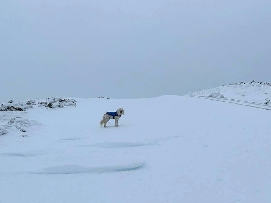
Winds start whipping around up higher, time to layer up.

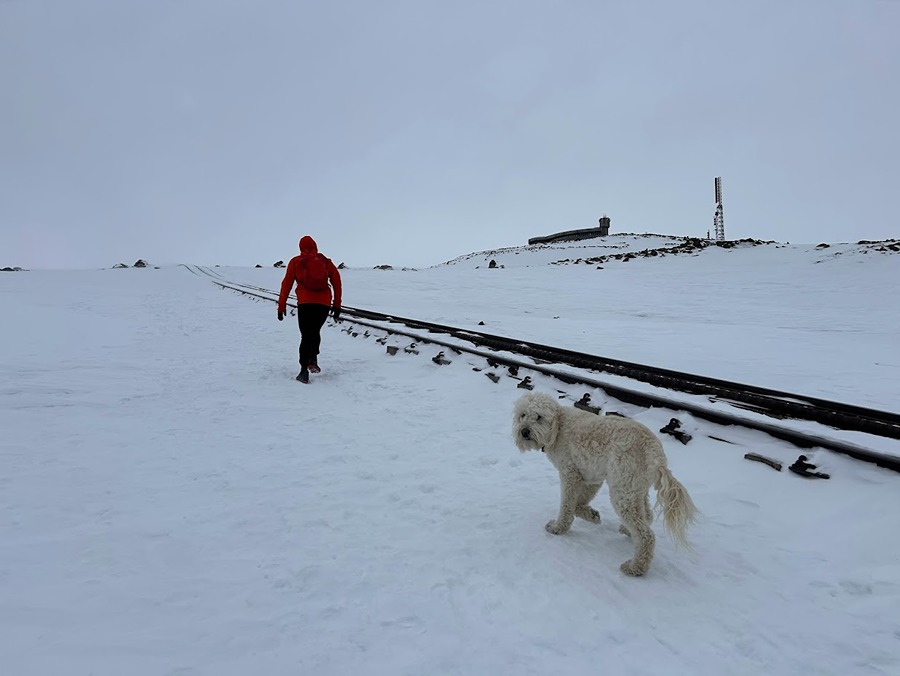
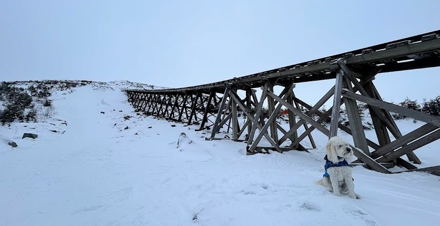
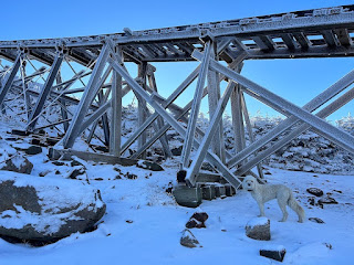
Sarge follows Nate along the tracks

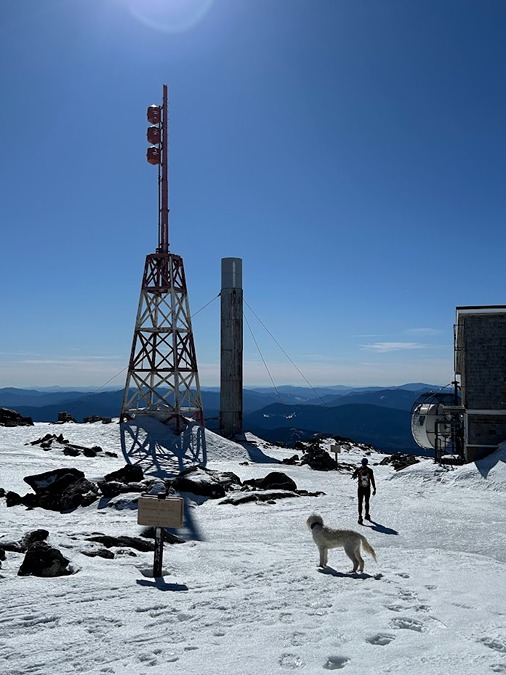
Last hundred feet to the summit

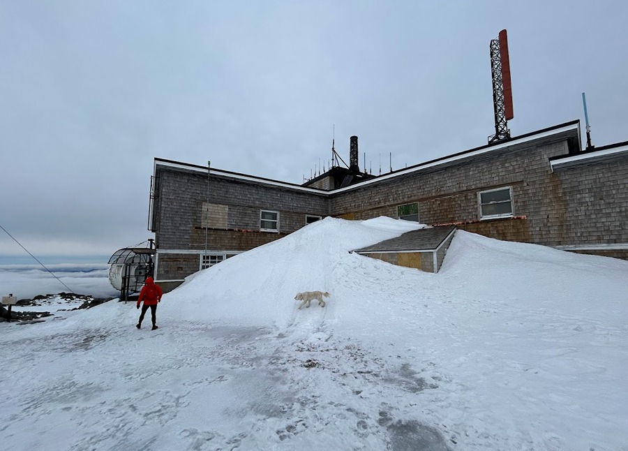
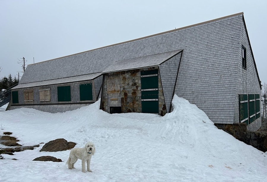
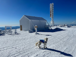
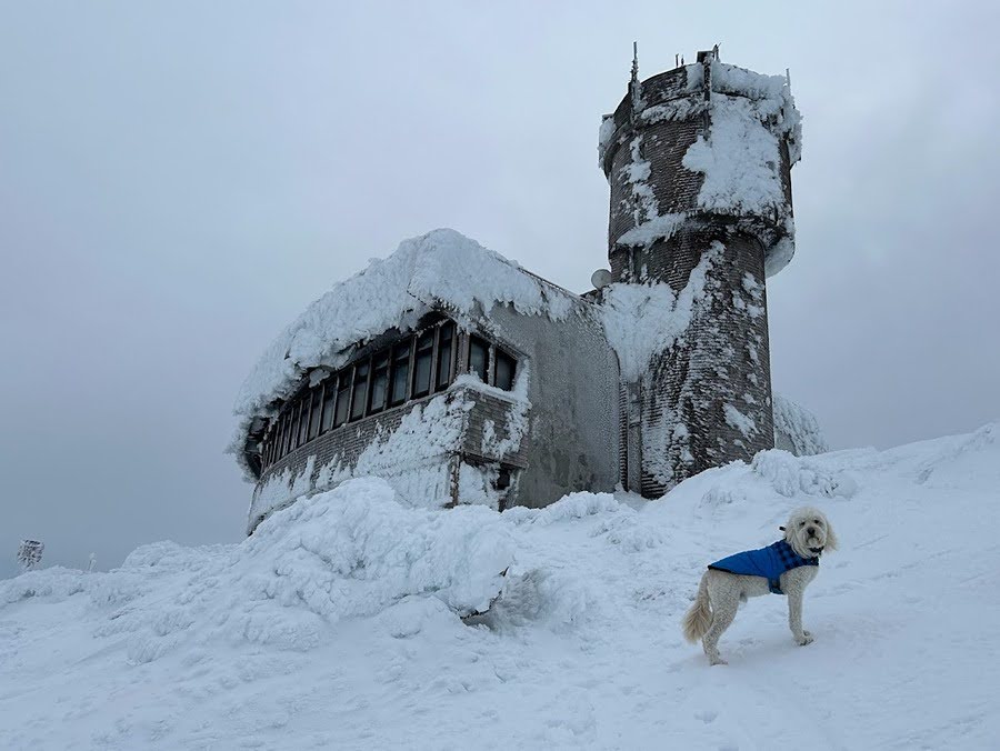
Big snow drift against the Yankee building on Mount Washington

- Heading down from Washington we were pleasantly surprised that the wind wasn't as brutal as we thought it was going to be so it was smooth sailing all the way to Lake of the Clouds. However, once past the hut we were back into high winds over Monroe and most of the way to Eisenhower where we experienced the last of the big gust on the summit before quickly retreating to relative comfort in and out of the trees to Pierce before finally bidding ado to any exposed sections sans the summit of Mount Jackson. 

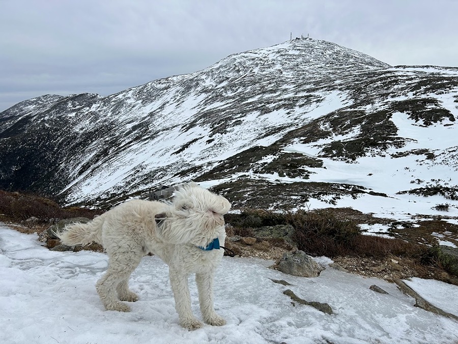
Sarge sniffing the breeze on the Crawford Path

Nate, Todd, and Sarge heading to Lakes of the Clouds

Lakes of the Clouds

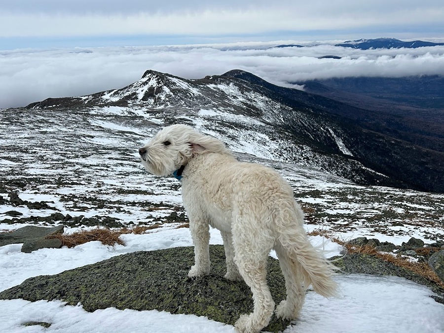
Another Sarge in the wind shot as we head up Mount Monroe

Sarge scopes out the trail conditions as we make our way through the Southern Presi's

The lack of snow for the early March was a little unsettling

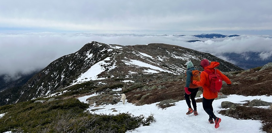
Looking back at Little Monroe and Monroe with Washington playing peekaboo

Mizpah Hut. Unfortunately, about a mile past Monroe we headed under the beautiful undercast we had been above leaving us in the clouds for the last six miles.

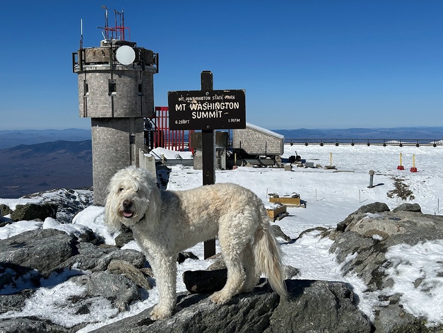
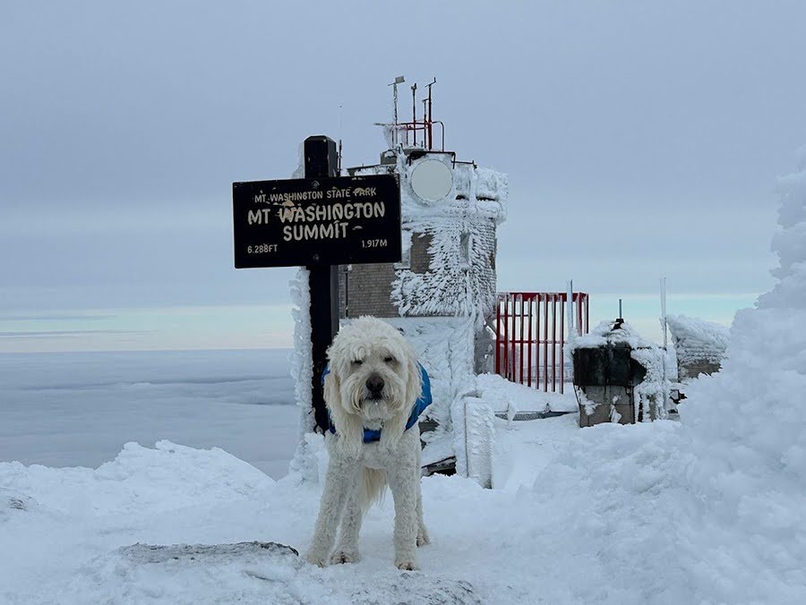
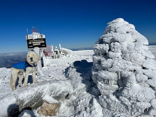
Sarge's 50th Summit of Mount Washington

1/28/24

Cog Railway: 3.0 miles / Gulfside Trail: 2.5 miles / Mount Jefferson Loop: 0.6 miles / Gulfside Trail: 1.5 miles / Jewell Trail: 3.0 miles
Total Miles: 10.7 (4,950' elevation gained)

Trip Report:
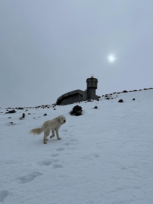
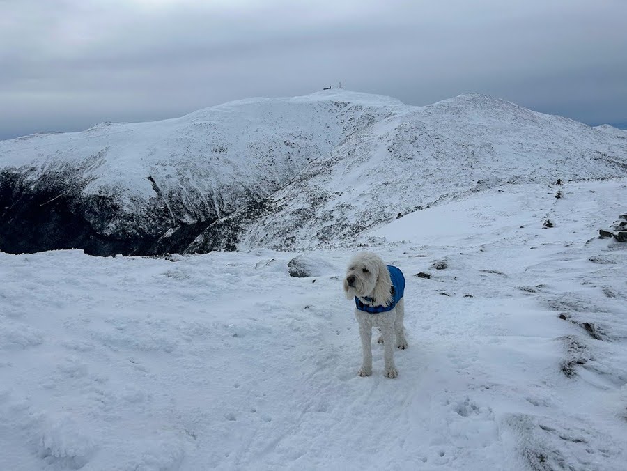
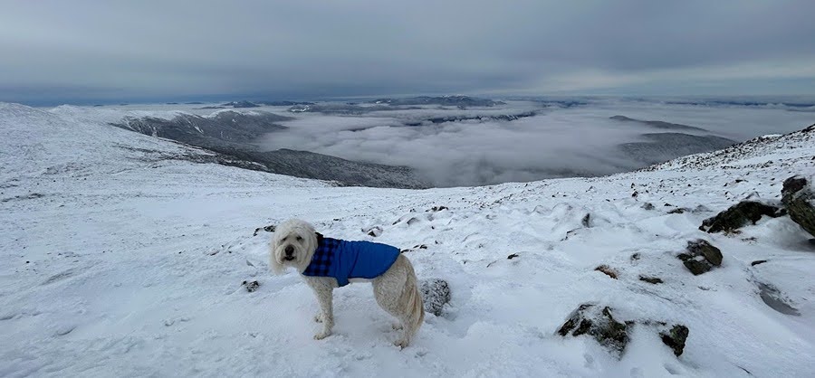
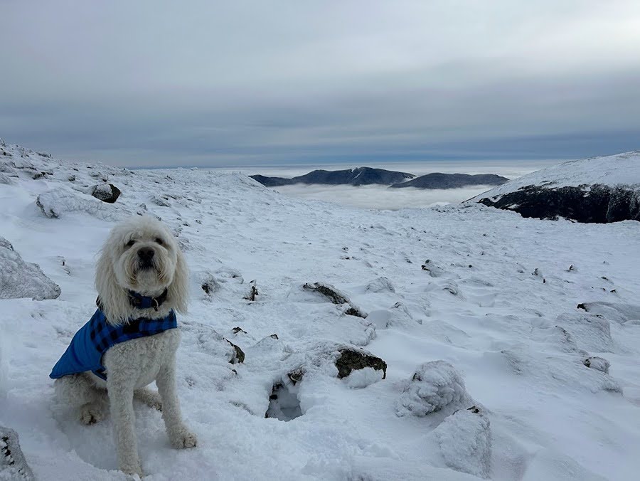
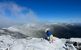
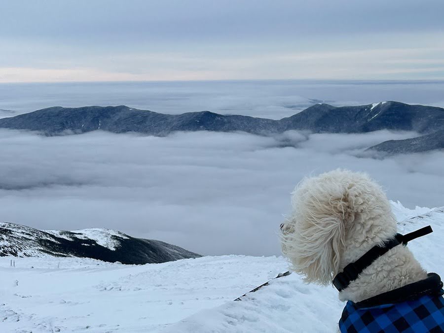
- Sarge had been waiting about two months to get Rockpile #50 and Sunday he was rewarded for his patience. Temperatures were mild above treeline, mid to high twenties which is quite warm for late January, and the wind was nonexistent. To add to our good fortune, we were treated with undercast, so it was a "unicorn' type of day in the alpine zone.
- We took the express way up to the summit, the Cog Railway Path, it's a steady steep climb along an open swath that parallels the tracks over an average grade around 25%. 
- At Marshfield Station I put on my microspikes and let Sarge set the pace as we made out way up the packed styrofoam snow that had a light dusting over it making for ideal winter conditions. 

Sarge at Marshfield Station waiting for me to put my spikes on

Looks gloomy as we head up but we know what waits above the clouds!

Break time at Jacob's Ladder.

- Past Jacob's ladder we hustled by the two steep no fall zones, they were easily navigated, but a few more good dumps of snow and a melt/freeze pattern could change that.
- Once past the steeps we enjoyed the last mile taking in the undercast views as we made our way to the summit.

Sarge waits for daddy to catch up

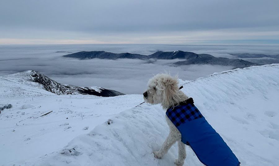
Undercast to the west of us

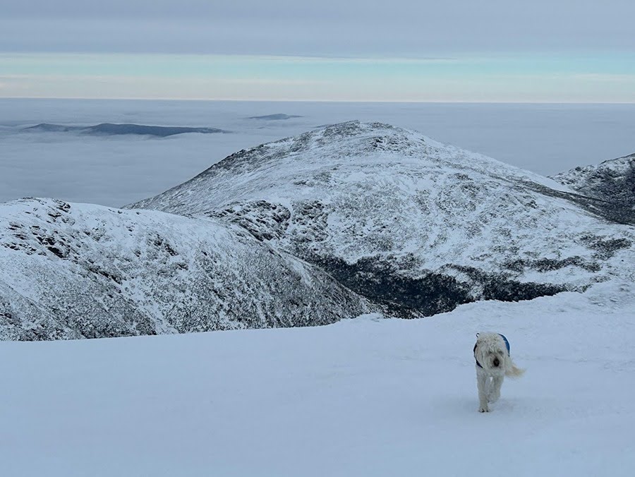
Sarge hiking up Mount Washington's summit cone with Mount Jefferson behind him

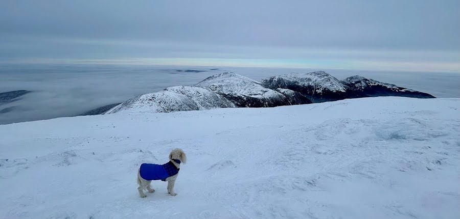
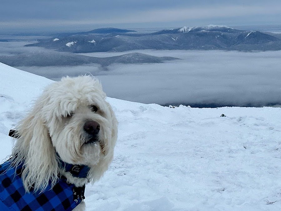
Sarge takes in the view of the North Presidential Range
Clay, Jefferson, Adams, Madison (left to right)

Pemi Wilderness rising above the clouds

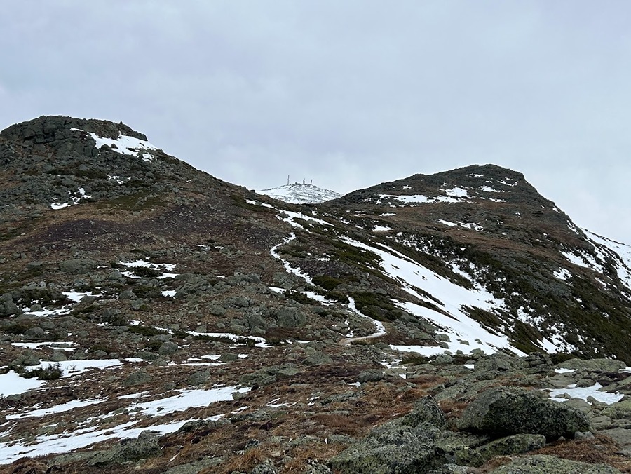
Observation deck and summit tower

#50!

Carter Range floating above the clouds

Summit deck Sarge!

- Our original plan was to head back down the Cog but we decided to switch it up and take the longer/easier way via the Jewell Trail. As we made our way over to the Jewell Trail junction the weather was too nice to head back down so we continued on.

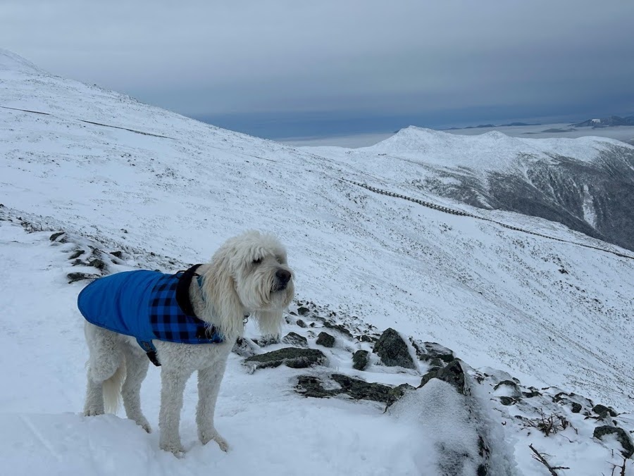
Sarge scopes out the Jewell Trail with Jacob's Ladder, Lakes of the Clouds Hut, and Mount Monroe behind him

- It was just past 9AM and there wasn't a hint of wind, the clouds were not moving down on us, and the storm was still several hours out so we decided an out and back of Mount Jefferson was in order.
- From the junction we dropped toward the Clay Col and that is when Sarge took off running, ahead of him he saw familiar faces, Corey and Ashley, who were out enjoying the mint conditions.
- After chatting with them we took off towards Jefferson making our way up to Monticello Lawn and eventually to the summit.

Sarge with Clay and Washington behind him

Monticello Lawn

Sarge making his way up to Mount Jefferson

Carter Range off in the distance

Sarge just below the summit of Mount Jefferson

Sarge on the summit!

- Unfortunately, it was time to head home, so we backtracked to the Jewell junction, banged a right, and slowly made our way back to treeline soaking in all the views as we both knew that days like this are few and far between when it comes to winter in the White Mountains

One happy Dood!

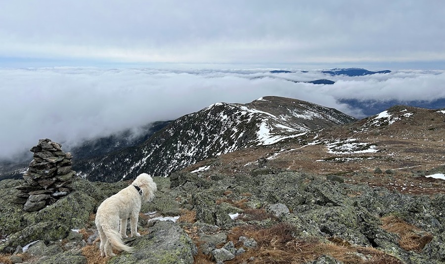
Sea of clouds. Eisenhower to the immediate left, far left in the back is Carrigain, Willey is to the right, and the peaks that make up the Pemi make up the backdrop

Treeline on Jewell Trail

- So how does Sarge feel about #50? No idea, he's just a dog! But he loves every minute on trail sniffing, eating snow, rolling in snow, waiting for me!

Shoulder Season Sarge

11/2/23
Cog Railway Path
6.5 miles (3,700' elevation gained)

Trip Report:
- As October rolled into the November the mild temperatures and solid trail conditions continued on most trails in the White Mountains.  Sarge and I took advantage of this for a cold but comfortable hike up to the Rock Pile via the Cog Railway with our friend Ashley who we helped with a car spot for her northern presi traverse to finish off her November Grid.
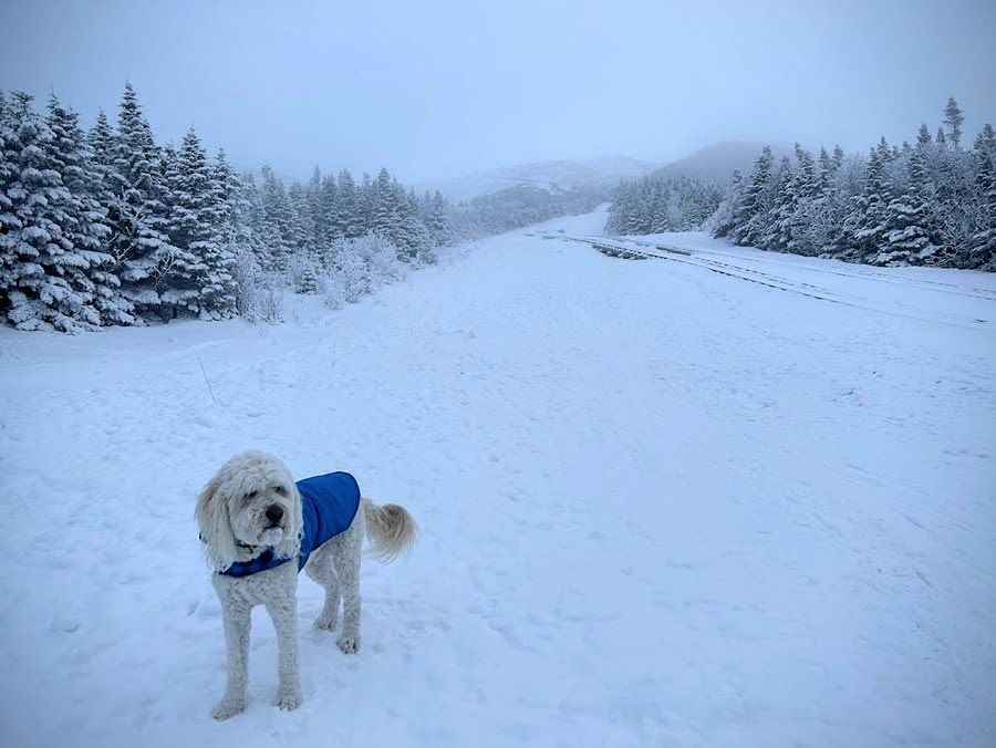
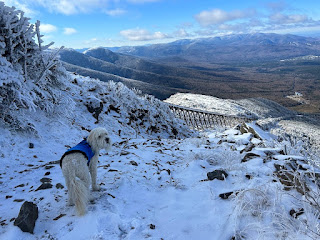
- We started at sunrise and made our way up the wide cleared swath that parallels the train tracks. There was a dusting of snow down low that transitioned to a couple of inches of snow and some minor ice once above Jacob's Ladder.

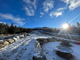
Sarge greets the plastic moose located near the bottom of the Cog Railway

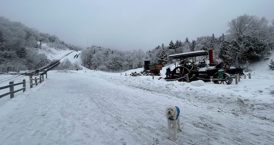
Sarge hangs out at the winter fire pit. The Cog runs in the winter to Waumbek Station where passengers can get out and experience the winter conditions before warming up by the fire

Jacob's Ladder

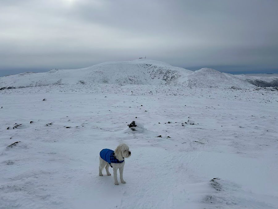
- Below treeline the temps were in the twenties, up high temps were around ten degrees with a light breeze. I put mushers wax on Sarge's pads to protect him from the cold and snow and once above treeline I put on his puffy jacket. He had no problems with the cold temps and snow and easily made his way up and down Mount Washington.
- Views were pretty amazing above treeline, wish we could have joined Ashley for her trek over the Jefferson and Adams but we had to get back home for work. Still, our short morning in the snow was a great way to start the day!

Sarge patiently waits for us to catch up to him 

Sarge makes his way past the top of the tracks with a nice view to the south behind him

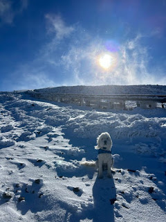
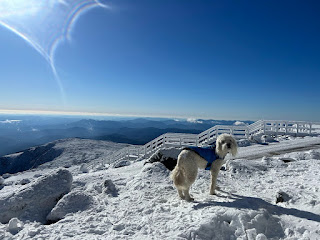
Summit Sarge!

Sarge enjoying the abundance of sunshine from the top of the northeast

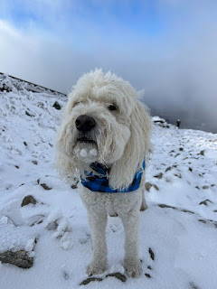
Tag-Alongs (snowballs) on Sarge's face!

Sarge taking in the view of the Great Gulf with Mount Clay, Jefferson, Adams, and Madison

Sarge makes his way back down along the tracks

11/4/23
Coos Muti-Use Trail System: 1.4 miles / Pine Mountain Trail: 3.8 miles / Pinkham B Road: 2.0 miles / Presi Rail Trail: 4.0 miles / Coos Multi-Use Trail System: 2.0 miles
13.2 miles (2,020' elevation gained)

Trip Report:
- Saturday Sare and I got on the trail early to get in some miles before having to head back home to finish up getting the yard ready for the winter.
- We decided to do a loop up and around the small peak that rises from the center of our hometown of Gorham, Pine Mountain. 95% of the elevation gained for this thirteen mile loop was achieved over the first 3.5 miles up to Chapel Rock and the summit of Pine Mountain. 
- Good views can be had from Chapel Rock along with two more outlooks, one small but sweat view from north of the summit, and a big sweeping view from the ledges south of the summit.

Chapel Rock.

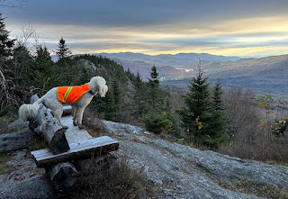
Sarge takes in the view of the Wildcat and Carter Range

Looking down at the town of Gorham and east to Shelburne

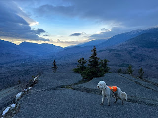
Carter Notch to the left and the shoulder of Madsion (Osgood Ridge) to the right

- Once past the ledges we made our way to the road section of the route, about three miles, one on the Horton Center's road, and two on Pinkham B Road. There's nothing too exciting about this section, the first mile is relatively flat followed by two miles of moderate downhill. Since it's been a mild fall, Pinkham B Road was still open but we didn't see one car over the two miles.
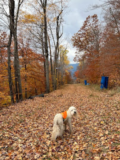
- Next up was an easy four miles of flat railroad grade over soft dirt and gravel before hooking onto the Coos trails for the last two miles of some easy up and downs.
- The loop took us just over two and a half hours and we didn't see a soul until running into a mountain biker on the Coos trails.
- We made it back home by 10AM and took a few hours to relax before spending the afternoon in the yard finishing off the last of the cleaning out of the flower beds and garden which soon enough will be buried beneath snow until mid April :(

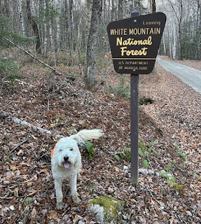
Sarge poses for a picture at the national forest boundary on Pinkham B Road

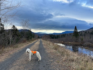
Along the Presidential Rail Trail

Mount Madison from the Coos multiuse trail system

11/5/23
Middle Mountain Trail: 2.7 miles / Peaked Mountain Trail: 1.1 miles / Black Cap Connector: 2.7 miles / Black Cap Trail: 0.6 miles / Cranmore Trail: 1.1 miles / Ski Trails: 1.8 miles / Conway Rec Path: 0.7 miles
Total Miles: 10.7 miles (3,255' elevation gained)

Trip Report
- Sunday was another early wake up call for Sarge and I as we headed to the valley for a loop hike in the Green Hills Preserve before heading to the new Market Basket!
- Our route shot quickly up to Middle and Peaked mountains followed by a longer traverse up to Black Cap Mountain and over to Cranmore before a short and fast descent down the ski trails to the recently paved recreational path.
- We saw one early starter on our way up to Middle Mountain then didn't see another hiker until just below Black Cap Mountain, an older gentlemen and his small dog. The dog joined us for a few hundred feet before realizing his owner wasn't keeping up so the small pooch shuffled back down the trail.
- Once over the summit of Black Cap we saw two more hikers on our way over to Cranmore and then one mountain biker on the Cranmore mountain biking trails.
- I'm very familiar with the Cranmore ski trails as every Friday from early June to early August is Friday Night Vert put on by Run the Whites. This is a group or solo run to the top of the ski area where everyone hangs out until the last runner gets up followed by pizza back at the bottom. It is always a fun and laid back setting, more info on it can be found here
- After bottoming out at the base of Cranmore we made the short run along the rec path back to the Jeep and headed over to Market Basket which did not disappoint. The place is great, has everything, and the employees are on the ball, hopefully this will get Hannaford and Shaw's to step up there food and hospitality game. 

Sarge spies North Conway from Middle Mountain

We take on another furry friend for a few minutes!

Rock steps on Black Cap Mountain

Sarge and his muddy paws on Black Cap Mountain

Cranmore Mountain

Descending the slopes through the last of the foliage